Difference between revisions of "Maps"
(→Map 2 - Woofferton to Kidderminster: add Whitehouse's Sand Siding and Kidderminster Shed) |
(→Map 2 - Woofferton to Kidderminster: OS Map confirms siding was beyond the entrance to the Shed) |
||
| Line 175: | Line 175: | ||
<br/> | <br/> | ||
[[File:BSicon DSTlocal.png|25px]] [[Foley Park sidings]] | [[File:BSicon DSTlocal.png|25px]] [[Foley Park sidings]] | ||
| + | <br/> | ||
| + | [[File:BSicon DSTlocal.png|25px]] [[H. Whitehouse's Sand Siding]] | ||
<br/> | <br/> | ||
[[File:BSicon_ABZlglocal.png|25px]] [[Kidderminster Shed]] | [[File:BSicon_ABZlglocal.png|25px]] [[Kidderminster Shed]] | ||
| − | |||
| − | |||
<br/> | <br/> | ||
[[File:BSicon_ABZlglocal.png|25px]] [[Kidderminster Junction signal box#Kidderminster Junction | Kidderminster Jct]] (To Hartlebury) | [[File:BSicon_ABZlglocal.png|25px]] [[Kidderminster Junction signal box#Kidderminster Junction | Kidderminster Jct]] (To Hartlebury) | ||
Revision as of 16:17, 20 August 2018
Schematic Map of the preserved SVRSevern Valley Railway
|
|
Schematic maps of the pre-closure SVRSevern Valley Railway
Map 1 - Shrewsbury to Hartlebury
|
|
Map 2 - Woofferton to Kidderminster
|
|
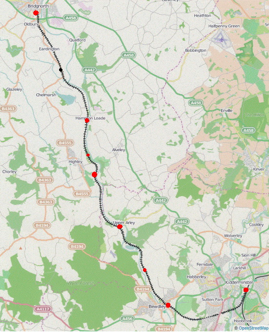
Geographic map of the preserved SVRSevern Valley Railway
Click on any station or station name to go to that station's page.