File:OS Map IronBridge.JPG
From SVR Wiki
Size of this preview: 800 × 339 pixels. Other resolutions: 320 × 136 pixels | 1,274 × 540 pixels.
Original file (1,274 × 540 pixels, file size: 176 KB, MIME type: image/jpeg)
Summary
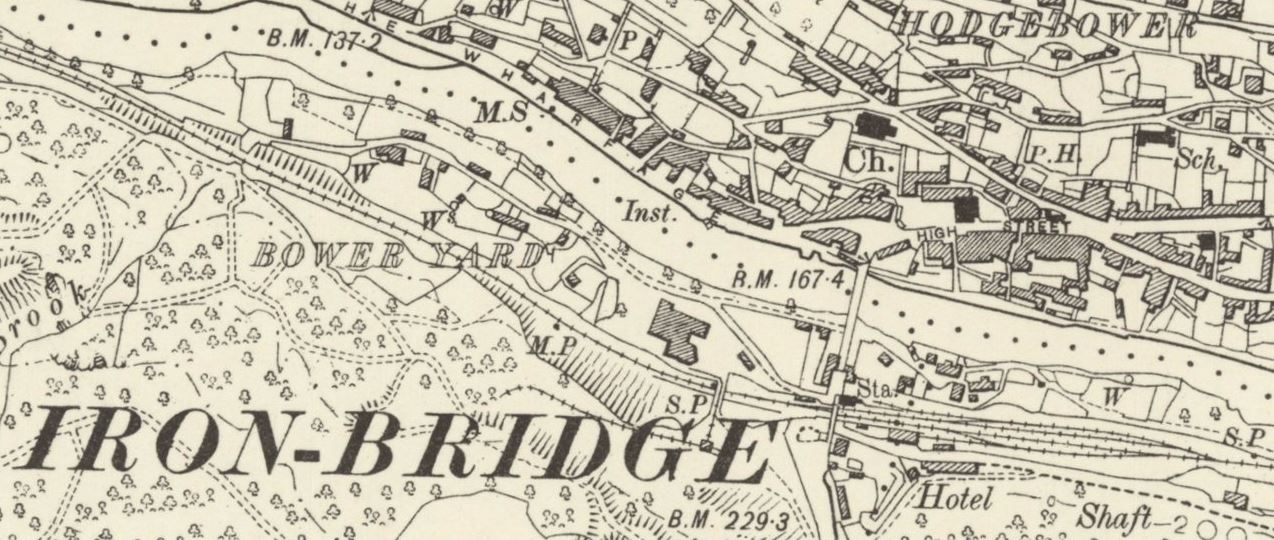
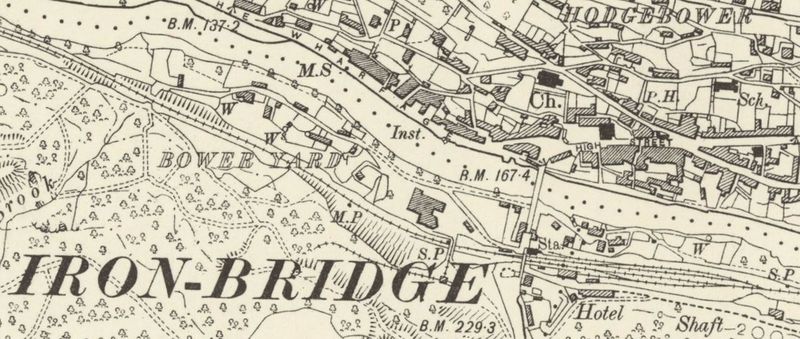
1903 OSOrdnance Survey map of Ironbridge showing Bower Yard
Licencing
This work has been (or is hereby) released into the public domain by the copyright holder. This applies worldwide.
In case this is not legally possible,
The copyright holder grants any entity the right to use this work for any purpose, without any conditions, unless such conditions are required by law.
File history
Click on a date/time to view the file as it appeared at that time.
| Date/Time | Thumbnail | Dimensions | User | Comment | |
|---|---|---|---|---|---|
| current | 15:44, 17 December 2015 | | 1,274 × 540 (176 KB) | Robin (talk | contribs) | 1903 OS map of Ironbridge showing Bower Yard |
- You cannot overwrite this file.
File usage
The following 3 pages link to this file: