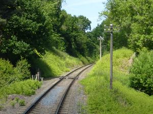
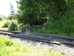
Foot crossing north of Bank Farm
Jump to navigation
Jump to search
A foot crossing and public right of way north of Bank Farm and south of Bridge 18, located near milepost 141¾. There are stiles on each side of the line.
The Worcestershire County Council Countryside map shows it is possible to make a circular walk from Arley using the river footpath, this crossing and paths toward Nib Green Farm (above Arley station).
See also
Towards Kidderminster
List of infrastructure
Towards Bridgnorth
Link
Worcestershire County Council Countryside map from Ordnance Survey, co-ordinates x: 375424.77 y: 280644.66

