Smethwick Drop Forgings map
From SVR Wiki
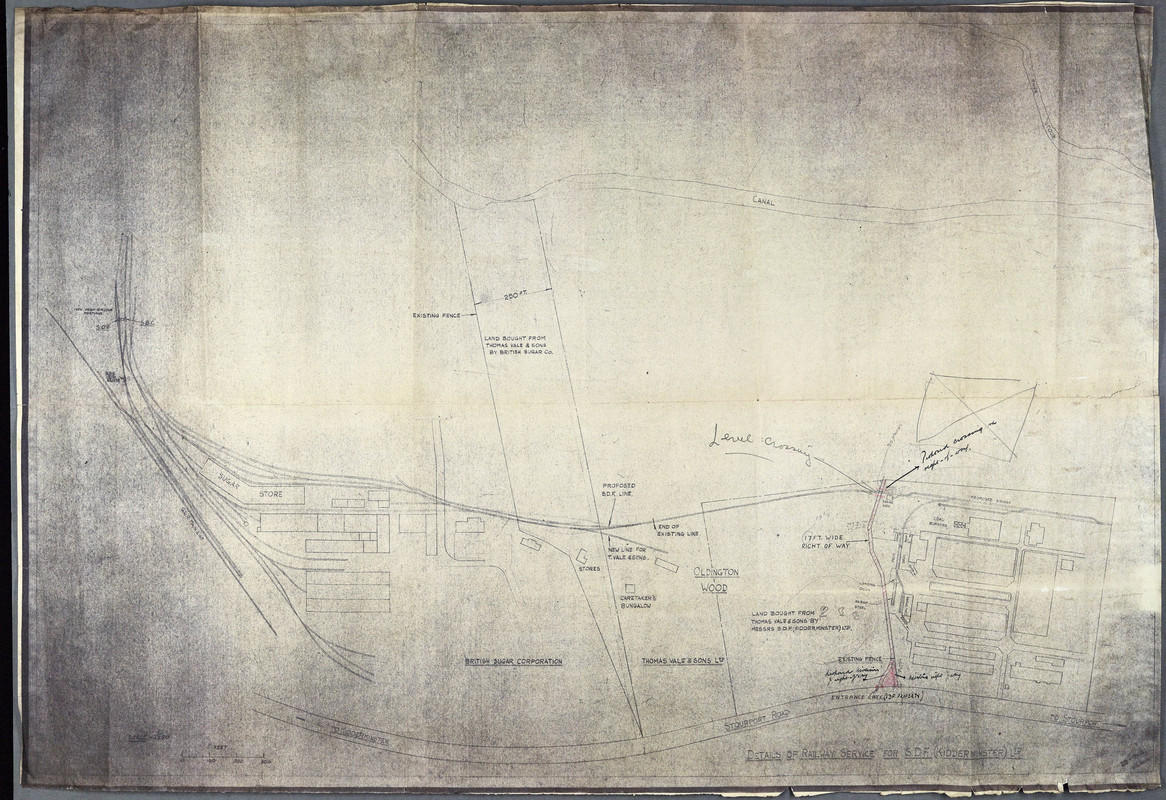
1941 map showing the British Sugar Corporation works, the "New line for T. Vale & Sons" and the "Proposed SDF line".
Note: the map is orientated around 90deg from true, with north shown to the left.