File:Gates by Severn Valley Railway level crossing - geograph.org.uk - 1579092.jpg
From SVR Wiki

Size of this preview: 452 × 599 pixels. Other resolutions: 181 × 240 pixels | 483 × 640 pixels.
Original file (483 × 640 pixels, file size: 159 KB, MIME type: image/jpeg)
Summary
| Description |
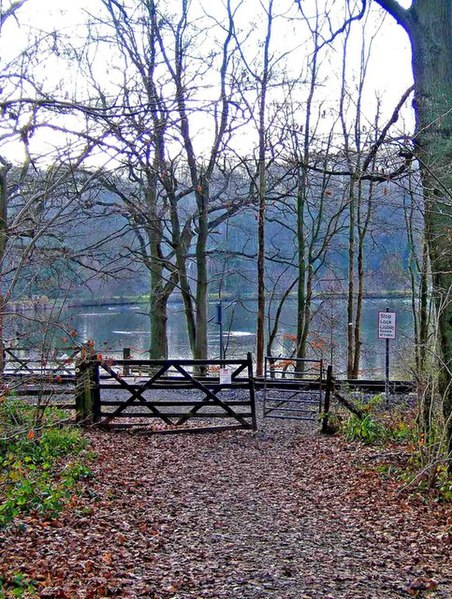
English: Gates by Severn Valley Railway level crossing. One of the paths in Eymore Wood comes down to this crossing. On the other side of the railway line is the footpath around Trimpley Reservoir's settling pool.1577202. |
| Date | |
| Source | From geograph.org.uk |
| Author | P L Chadwick |
| Attribution (required by the licence) | P L Chadwick / Gates by Severn Valley Railway level crossing / |
| Camera location | | View this and other nearby images on: OpenStreetMap |
|---|
_heading:225.00&language=en-gb)
| Object location | | View this and other nearby images on: OpenStreetMap |
|---|
_heading:225.00&language=en-gb)
Licensing

|
This image was taken from the Geograph project collection. See this photograph's page on the Geograph website for the photographer's contact details. The copyright on this image is owned by P L Chadwick and is licensed for reuse under the Creative Commons Attribution-ShareAlike 2.0 license.
|
This file is licensed under the Creative Commons Attribution-Share Alike 2.0 Generic licence.
Attribution: P L Chadwick
- You are free:
- to share – to copy, distribute and transmit the work
- to remix – to adapt the work
- Under the following conditions:
- attribution – You must give appropriate credit, provide a link to the licence, and indicate if changes were made. You may do so in any reasonable manner, but not in any way that suggests the licensor endorses you or your use.
- share alike – If you remix, transform, or build upon the material, you must distribute your contributions under the same or compatible licence as the original.
File history
Click on a date/time to view the file as it appeared at that time.
| Date/Time | Thumbnail | Dimensions | User | Comment | |
|---|---|---|---|---|---|
| current | 20:29, 3 March 2011 | | 483 × 640 (159 KB) | GeographBot | == {{int:filedesc}} == {{Information |description={{en|1=Gates by Severn Valley Railway level crossing One of the paths in Eymore Wood comes down to this crossing. On the other side of the railway line is the footpath around Trimpley Reservoir's settling |
File usage
The following 3 pages link to this file: